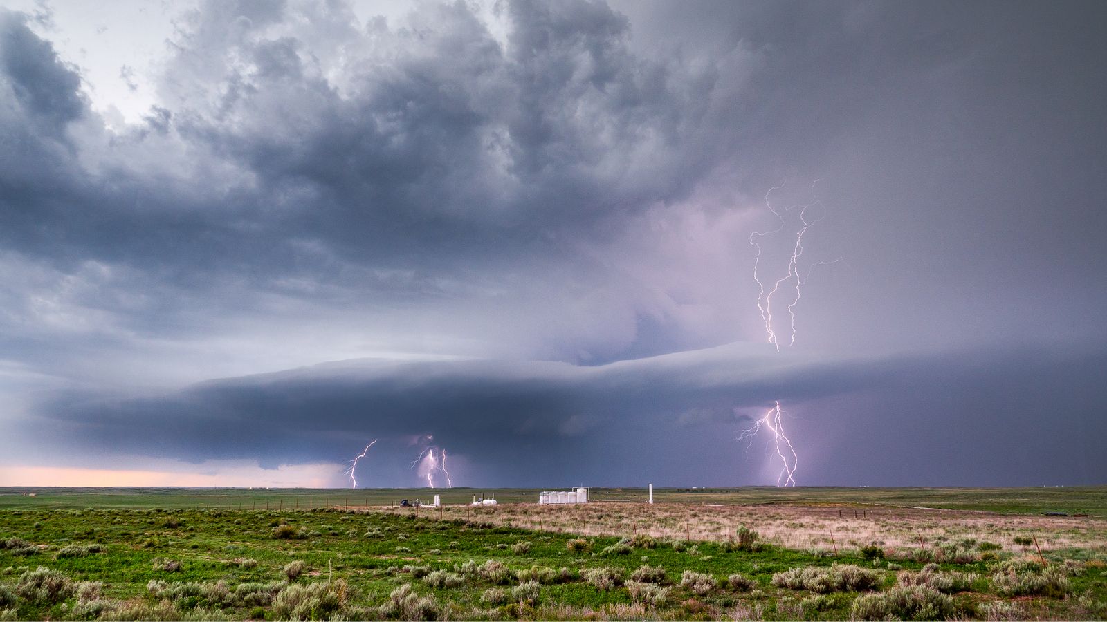
On 29 April 2020, a single lightning flash spread across Texas, Louisiana and Mississippi. Contemporary reporting described it as a 477-mile event crossing the three states, while the World Meteorological Organization later established its official maximum extent as 768 kilometres, with an uncertainty of eight kilometres.
When the WMO certified the event in 2022, it became the longest single lightning flash then recognised anywhere on Earth. The organisation compared the distance with travelling from New York City to Columbus, Ohio, or from London to Hamburg, a scale documented in its official announcement of the record.
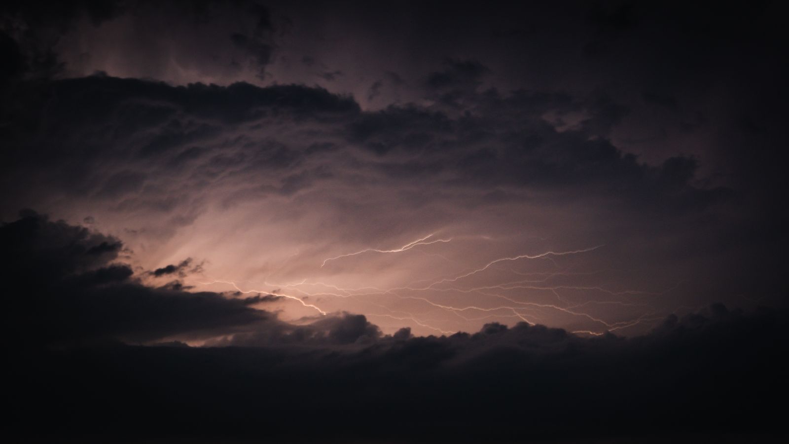
The flash that crossed three states
The event was not one simple vertical bolt descending from a cloud. It was a vast, branching electrical flash that developed horizontally through a large storm system, with separate illuminated sections remaining part of one connected event.
These extreme flashes are associated with mesoscale convective systems containing broad stratiform cloud regions. Such systems are collections of thunderstorms that can extend across hundreds of kilometres while maintaining large, connected reservoirs of electrical charge.
The April 2020 flash developed through the expansive cloud shield of one of these systems. Its exceptional feature was not necessarily greater intensity at any one point, but the distance over which the electrical development remained connected.
How a satellite measures lightning
Traditional ground-based lightning networks are highly effective within their coverage areas, particularly for detecting strikes that reach the surface. Their ability to follow an electrical event can become more limited when a flash extends beyond the network or travels mainly through clouds over an enormous area.
GOES-16 carried the instrument that made the 2020 measurement possible. NOAA describes the Geostationary Lightning Mapper as a near-infrared optical detector that continuously maps lightning from geostationary orbit.
Instead of photographing a complete lightning channel in the way a conventional camera might, the mapper records rapid optical brightenings at cloud level. Researchers then analyse where and when those brightenings occurred, allowing connected parts of an immense flash to be reconstructed across both distance and time.
This wide and continuous field of view changed what could be measured. A flash stretching across several states could previously extend beyond the practical observation area of a ground network, even when parts of it had been detected.
Why the 2020 record mattered
The WMO announced two lightning records together in February 2022. The 768-kilometre US flash held the record for greatest horizontal extent, while a separate flash over Uruguay and northern Argentina on 18 June 2020 set the duration record at 17.102 seconds.
Randall Cerveny, the WMO rapporteur of Weather and Climate Extremes, described the records as demonstrations of both nature’s power and advances in scientific measurement. He also cautioned that larger extremes probably existed and could become visible as detection technology improved.
That point was important. The 2020 event did not suddenly establish a new physical ability for lightning, but it showed that satellites and improved processing could reveal events that older observing systems might have measured only partially.
Then an older storm took the record
The next record did not come from a storm that occurred after 2020. On 31 July 2025, the WMO certified an 829-kilometre flash from eastern Texas to near Kansas City that had occurred on 22 October 2017.
The 2017 flash was 61 kilometres longer than the former record. It had been captured by GOES-16, but researchers did not recognise its complete extent until archived observations were re-examined using improved data-processing techniques.
The 829-kilometre and 515-mile measurements therefore refer to the same flash, not two successive records. Its endpoints lay in eastern Texas and near Kansas City, Missouri, with the electrical development passing across a large portion of the central United States.
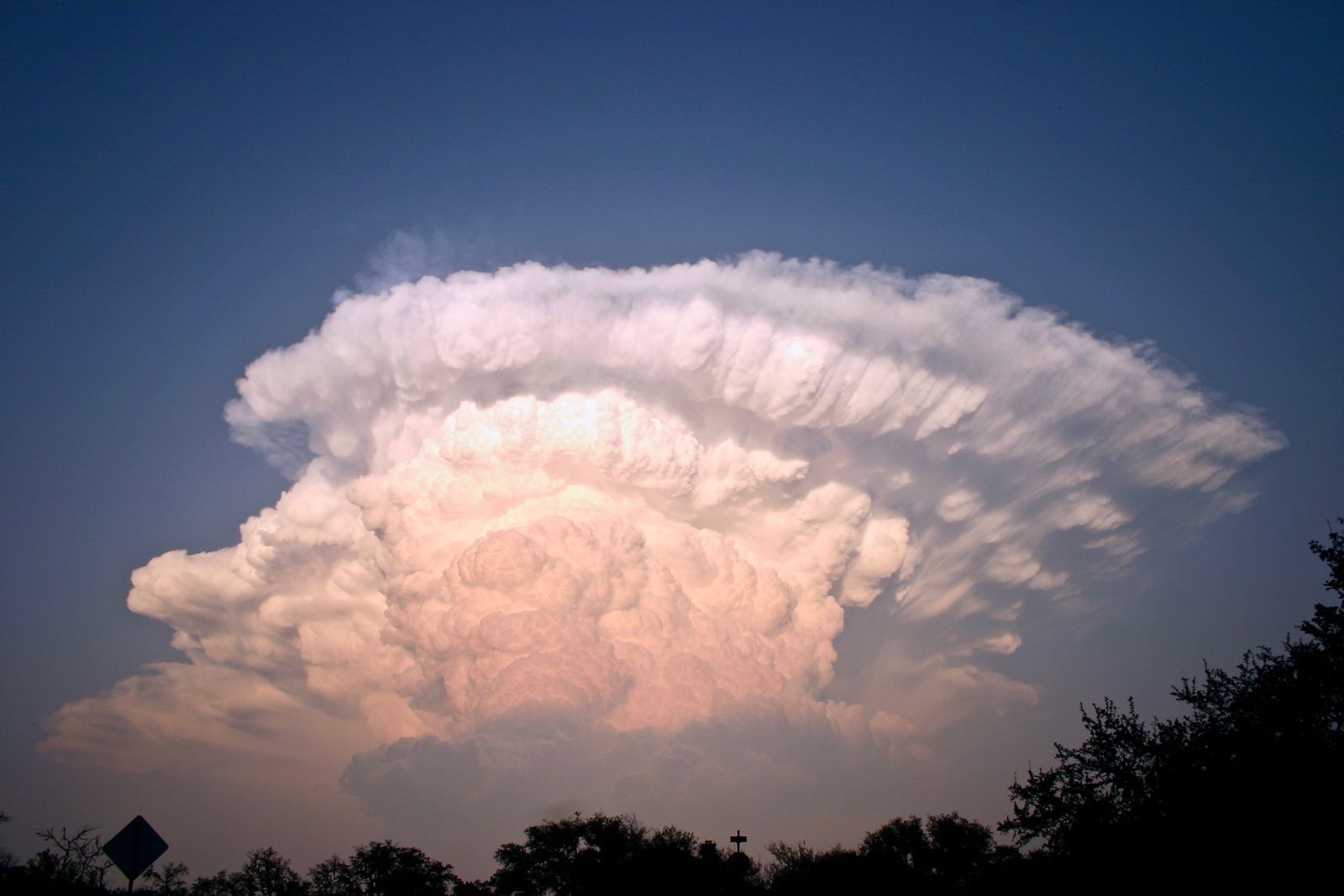
Why the Great Plains produce megaflashes
Both record-setting US flashes occurred in a region known for large and long-lived thunderstorm complexes. The Great Plains frequently bring warm, moisture-rich Gulf air into contact with drier or cooler continental air, helping organised storm systems develop across wide areas.
Size alone is not enough. A storm must also maintain electrically active cloud regions across a long distance, with sufficiently connected areas of charge for the flash to continue propagating rather than stopping after a few kilometres.
The La Plata Basin of South America is another major hotspot. Its organised thunderstorm systems produced both the 17.102-second duration record and several other exceptionally large flashes identified by satellite instruments.
What 768 kilometres actually means
The number becomes easier to understand through comparison. The WMO described 768 kilometres as roughly the distance from New York City to Columbus, Ohio, or from London to Hamburg.
Lightning is extreme even on an ordinary scale. NOAA’s National Severe Storms Laboratory explains that a lightning channel can heat nearby air to around 50,000 degrees Fahrenheit, considerably hotter than the surface of the Sun.
A megaflash is not automatically hotter at every point simply because it is longer. Its defining feature is the enormous horizontal span over which interconnected electrical development occurs inside the parent storm.
What it means for the grid
A long intracloud flash does not necessarily strike a transmission line or substation. Its parent storm, however, may also produce cloud-to-ground lightning, destructive wind, hail, heavy rainfall or tornadoes, all of which can threaten electricity infrastructure.
The Geostationary Lightning Mapper gives forecasters frequent information about the location, rate and extent of lightning activity. Rapid changes in that activity can help reveal when a thunderstorm is intensifying, adding another layer of situational awareness alongside radar and other satellite observations.
For utilities, this information can support operational awareness, crew-safety decisions and preparations for severe weather. It should not be interpreted as proof that every megaflash will cause an outage or that the length of a flash directly predicts the amount of grid damage.
Climate change is a separate question
The 2020 flash is not, by itself, evidence that climate change is producing longer lightning events. The relationship between atmospheric warming, severe convection and lightning involves several interacting factors, including moisture, instability, wind patterns and storm organisation.
The US Climate Resilience Toolkit notes that future trends for lightning and some other storm extremes remain uncertain. Researchers can study how warming alters environments favourable to thunderstorms without attributing one particular megaflash to climate change.
The careful conclusion is therefore narrower. A warmer climate may change some of the conditions in which storms develop, but the observational record is not yet sufficient to say that flashes of this size are already becoming more frequent.
The ceiling keeps moving
The April 2020 flash remains one of the largest lightning events ever documented, even though it no longer holds the distance record. Its importance lies partly in showing how much of the atmosphere’s electrical activity had remained beyond the reach of earlier observing systems.
The current record had already occurred three years before the 2020 flash, yet its full dimensions remained hidden in archived satellite data until researchers returned with better processing methods. That raises the possibility that another record is already sitting inside years of observations, waiting to be separated from the millions of smaller flashes around it.
GOES satellites continue watching the Americas, while comparable instruments are expanding geostationary lightning coverage elsewhere. The next ceiling may be broken by a future storm, or by a flash that has already crossed the sky unnoticed.